Glossary of World Globe Terminology
Whether you're an astronomy enthusiast, a globe collector, or simply fascinated by the workings of our planet, this glossary breaks down essential terms relating to globes, geography, and celestial science. From analemmas to zodiac signs, explore the key vocabulary to deepen your understanding of Earth and beyond.
Analemma
An analemma is a figure-eight-shaped curve showing the sun’s position in the sky at the same time each day over the course of a year, as seen from Earth. It results from the Earth’s axial tilt and elliptical orbit, and is often used to mark solstices, equinoxes, and calculate mean solar time.
Armillary Sphere
A decorative or scientific instrument composed of concentric rings, representing planetary orbits, zodiac signs, and celestial circles such as the Tropics and the Equator. It’s often used as a model of the heavens or adapted into garden sundials.
Axis
The axis is the invisible line around which the Earth rotates. It passes through the planet’s centre, ending at the North and South Poles.
Polar Cap
On many European globes, the poles are covered by circular pieces of paper known as polar caps, replacing the traditional triangular map gores.
Cartouche
A cartouche is a decorative label or panel on a globe or map. It often contains information about the manufacturer, model, and date, and reflects the artistic style of the period.
Cradle Mounting
A cradle mount allows a globe to be lifted from its base for closer inspection. It sits in a frame that enables it to rotate freely in multiple directions.
Degree
A unit of measurement used to express latitude and longitude, where one full circle (360 degrees) represents the Earth's circumference.
Diameter
The distance across the globe through its centre. If you know the radius (distance from centre to edge), you can calculate diameter by doubling it.
Hemisphere
One half of the Earth, either divided by the equator (Northern & Southern Hemispheres) or the Prime Meridian (Eastern & Western Hemispheres).
Equator
The imaginary line circling the middle of the Earth, equidistant from both poles. It divides the globe into Northern and Southern Hemispheres.
Equatorial Band
A band that covers the equator on some globes—often added during manufacturing to conceal seams or improve durability.
Equinox
Occurs twice a year—around 21 March and 23 September—when day and night are approximately equal in length. The sun’s rays hit the equator directly during this event.
Earth
The only accurate map of our planet is in the form of a spherical globe, showing continents, oceans, and the Earth’s curvature.
Greenwich Meridian (Prime Meridian)
The starting point for measuring longitude (0°), running through Greenwich, London. It is the global reference for time zones.
Grid
The network of latitude and longitude lines covering the globe, used to pinpoint exact locations on Earth.
Horizon Ring
A calibrated ring representing the horizon, often marked with degrees, compass directions, zodiac signs, or time. It helps visualise Earth's tilt and celestial events.
Axial Tilt
The Earth’s axis is tilted 23.5 degrees from the plane of its orbit, leading to the changing seasons.
International Colour Scheme
A method used on maps and globes to depict elevation:
-
Green = lowlands
-
Yellow = mid-level terrain
-
Orange/Brown = high elevations
International Date Line
An imaginary line, mostly following the 180° longitude, where each new calendar day begins. It features some deviations to accommodate local territories.
Latitude and Longitude
A coordinate system used for navigation.
-
Latitude: horizontal lines parallel to the equator
-
Longitude: vertical lines from pole to pole
Meridian
A metal or wooden ring surrounding a globe, often used to indicate degrees of longitude. It may be half or full and connects to the base and poles.
Mounting
The structure or stand that holds a globe. It can be simple, cradle-mounted, or fixed, depending on the design.
Parallel of Latitude
Lines running east-west across the globe, parallel to the equator. They measure degrees north or south.
Simple Mounting
A basic globe stand without a meridian. It typically allows limited movement but offers a clean, minimalist appearance.
Rotation
The Earth rotates on its axis every 24 hours, causing day and night cycles.
Scale
Represents the ratio between actual distances on Earth and their size on the globe. For example, 1:50,000 means one unit on the globe equals 50,000 units in real life.
Solstice
Happens twice a year—around 21 June and 22 December—when the sun reaches its northernmost or southernmost point, marking the longest and shortest days of the year.
Southern Hemisphere
The half of the Earth south of the equator, encompassing parts of Africa, Australia, South America, and Antarctica.
Sphere
A 3D round object like a ball. In cartography, it refers to the globe itself—representing the Earth.
Fixed Mounting
A mounting style where the globe and meridian are permanently attached to the base and cannot be removed.
Globe
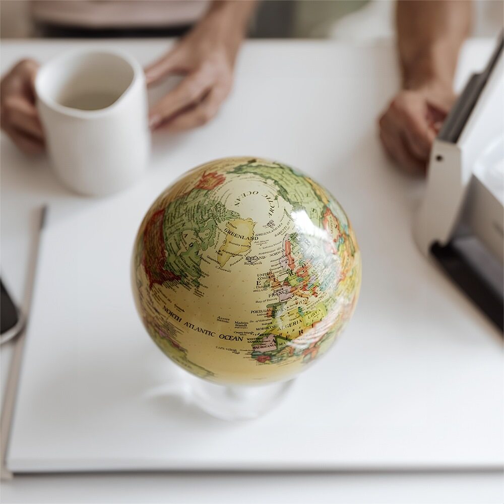
A 3D model of Earth, mounted and often rotating, used for educational or decorative purposes.
Time Dial
A small, often metal ring located at the North Pole on some globes. Divided into 24 hours, it’s used to calculate time differences between regions.
Western Hemisphere
The half of the Earth west of the Prime Meridian, including North and South America, parts of Europe, and western Africa.
Zodiac
An imaginary band in the sky, 8–9 degrees either side of the ecliptic, divided into 12 zodiac signs. It plays a key role in both astronomy and astrology.


